LiDAR 3D Scanning Solutions
LiDAR 3D Scanning Solutions
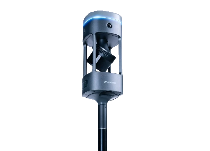
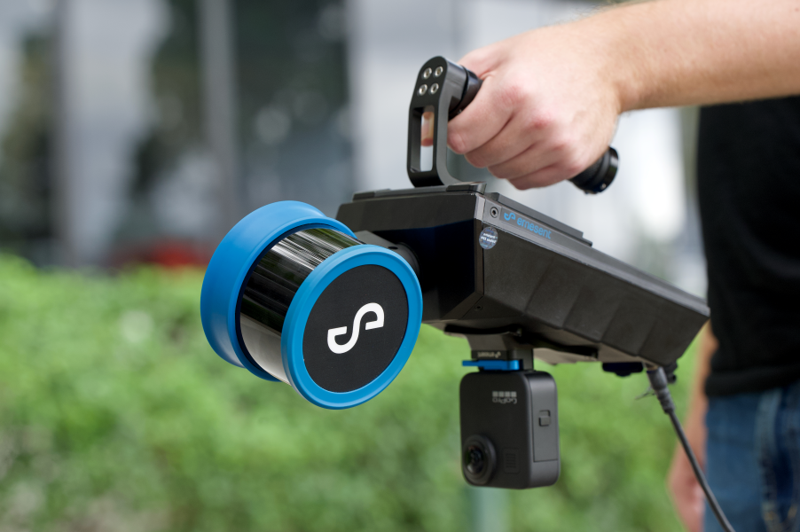
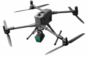
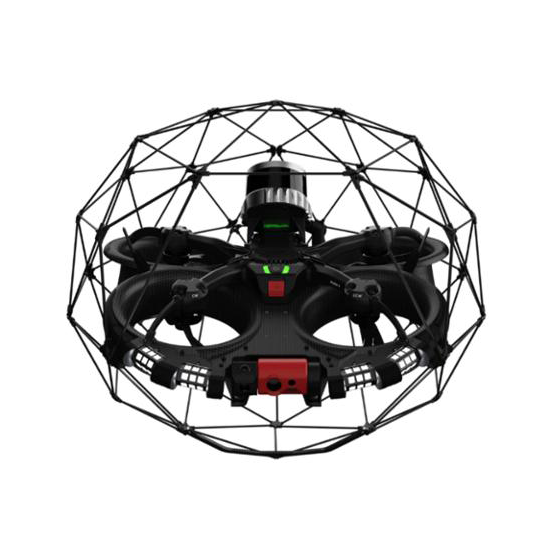
Our LiDAR and 3D scanning solutions deliver high-fidelity spatial data for industrial, construction, and infrastructure applications. Leveraging advanced platforms including the Hovermap ST-X from Emesent, the Elios 3 from Flyability, and enterprise-grade systems from DJI such as the Matrice 400 integrated with the Zenmuse L2 and L3 payloads, we provide reliable and accurate reality capture solutions across diverse environments; from large-scale outdoor sites to confined, indoor, and GPS-denied spaces.
✔ High-Precision Data: Achieve sub-centimeter accuracy with state-of-the-art LiDAR systems.
✔ Flexible Deployment: Handheld, vehicle-mounted, backpack, and drone-mounted configurations (Hovermap ST-X), including the DJI M400 with DJI Zenmuse L2 and L3 payloads for outdoor and confined spaces, plus dedicated platforms like Elios 3 for confined-space operations, as well as other enterprise solutions for LiDAR aerial mapping.
✔ Non-Intrusive: Conduct scans without interrupting operations, reducing downtime and safety risks.
✔ Real-Time Analysis: Access live SLAM previews, point clouds, and sensor data for instant insights.
✔ True-to-Reality Colorization: Capture colorized 3D point clouds through integrated imaging system; supported on Hovermap ST-X, DJI Zenmuse L2 and L3 aerial LiDAR systems, and other aerial LiDAR 3D scanning platforms, with Elios 3 colorization.
✔ Versatile Applications: Ideal for construction, oil & gas, mining, infrastructure, inspection, and more.