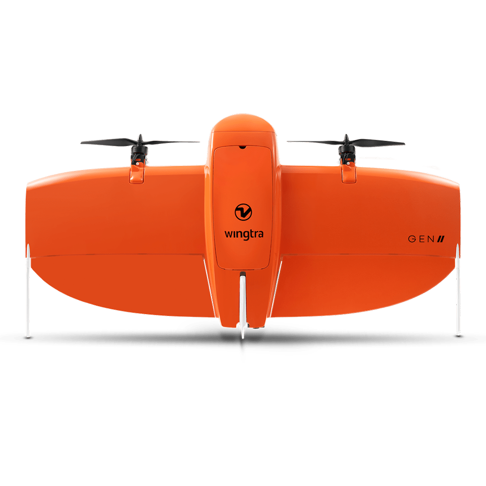
WingtraOne Gen II
Wingtra – High-Precision VTOL Drone Solutions
We are proud to partner with Wingtra, a pioneer in VTOL (Vertical Take-Off and Landing) drone technology, to bring you the WingtraOne GEN II—a professional-grade drone designed for high-precision surveying and mapping. With unmatched accuracy, efficiency, and versatility, this drone is the ultimate tool for geospatial professionals.
Why Choose WingtraOne GEN II?
- VTOL Technology – Take off and land anywhere, even in challenging terrain.
- High-Accuracy Mapping – Achieve down-to-centimeter precision for aerial surveys.
- Long Flight Time – Covers large areas in a single flight, reducing operational costs.
- Multi-Payload Support – Customizable sensors for various applications.
Advanced Payload Options
- LiDAR – High-resolution 3D mapping and topographic surveys.
- Multispectral – Advanced imaging for agriculture and environmental monitoring.
- Photogrammetry – Detailed aerial mapping and modeling for urban planning.
- 3D Data Collection – Comprehensive terrain and infrastructure analysis.
Learn More From
Frequently Asked Questions
“VTOL Mapping drones for high-accuracy aerial surveying at scale”